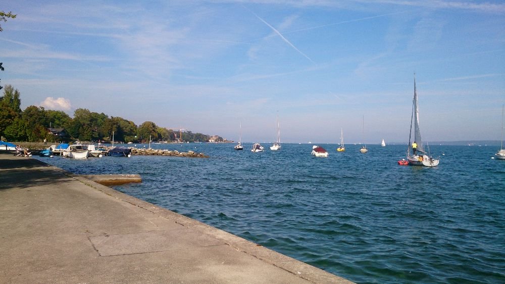
The photo was shot using a Sony C6603 camera at an aperture of f/2.4, 1/1600 sec. shutter speed and ISO 40. Flash did not fire, compulsory flash mode. The original image file has a resolution of 1000 x 562 pixels, or in other words 0.6 megapixels.The photo has a resolution of 72 DPI.
According to the image metadata, the photo was shot on Sunday 28th of September 2014. The local time was 16:00:08. The timezone was Europe / Zurich, which is GMT +02:00. Please note that timezone was guessed using the GPS coordinates and may not be accurate. The EXIF timestamp may also be wrong if the date and time weren't set correctly in the digital camera.
Sony C6603 camera has a built-in GPS receiver and allows geotagging on image files. The coordinates and location where the photo was taken is stored in the EXIF. According to GPS data analysis, the photo was taken at coordinates 46° 18' 13.81" N , 6° 10' 54.47" E. The elevation was 419 meters. Using reverse geocoding, the address associated with the coordinates is guessed as Chemin de l'Epine 4, 1295 Mies, Switzerland. Depending on the GPS receiver and the reception conditions the accuracy may vary and the address should not be regarded as exact location.


