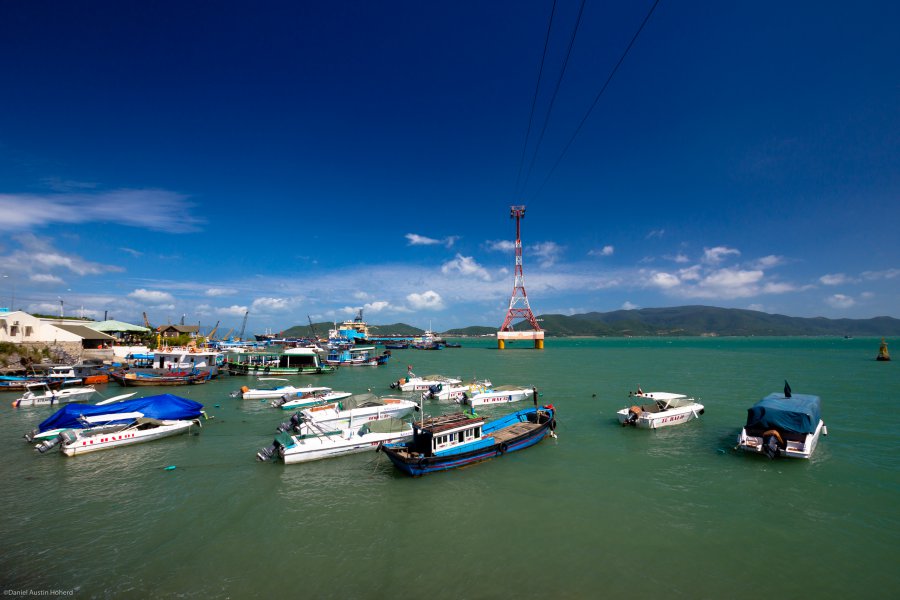
The photo was shot using a Canon EOS REBEL T3i camera at an aperture of f/7.1, 1/125 sec. shutter speed and ISO 100. Sigma 10-20mm f/3.5 EX DC HSM lens was used to capture the image. Flash did not fire, compulsory flash mode. The original image file has a resolution of 2560 x 1707 pixels, or in other words 4.4 megapixels.The photo has a resolution of 240 DPI.
According to the image metadata, the photo was shot on Wednesday 28th of December 2011. The local time was 12:01:30. The timezone was Asia / Ho_Chi_Minh, which is GMT +07:00. Please note that timezone was guessed using the GPS coordinates and may not be accurate. The EXIF timestamp may also be wrong if the date and time weren't set correctly in the digital camera.
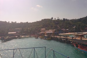
Canon EOS REBEL T3i camera has a built-in GPS receiver and allows geotagging on image files. The coordinates and location where the photo was taken is stored in the EXIF. According to GPS data analysis, the photo was taken at coordinates 12° 12' 7.93" N , 109° 12' 55.21" E. The elevation was 4 meters. Using reverse geocoding, the address associated with the coordinates is guessed as Trần Phú, Cầu Đá, Vĩnh Nguyên, tp. Nha Trang, Khánh Hoà, Vietnam. Depending on the GPS receiver and the reception conditions the accuracy may vary and the address should not be regarded as exact location.


