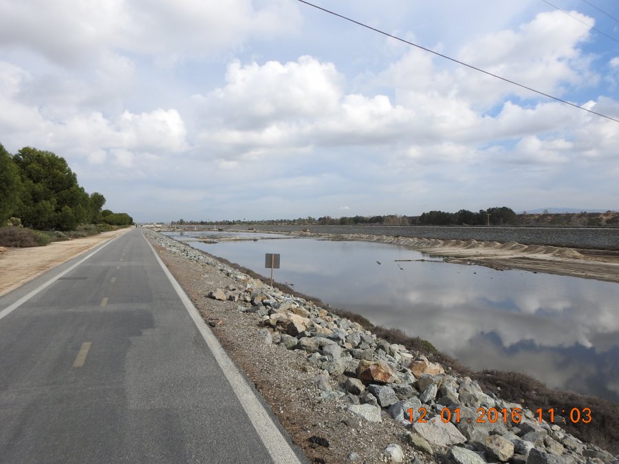
The photo was shot using a NIKON COOLPIX P900 camera at an aperture of f/3.2, 1/1600 sec. shutter speed and ISO 100. Flash did not fire, compulsory flash mode. The original image file has a resolution of 3264 x 2448 pixels, or in other words 8.0 megapixels.The photo has a resolution of 300 DPI.
According to the image metadata, the photo was shot on Thursday 1st of December 2016. The local time was 11:03:36. The timezone was America / Los_Angeles, which is GMT -08:00. Please note that timezone was guessed using the GPS coordinates and may not be accurate. The EXIF timestamp may also be wrong if the date and time weren't set correctly in the digital camera.
NIKON COOLPIX P900 camera has a built-in GPS receiver and allows geotagging on image files. The coordinates and location where the photo was taken is stored in the EXIF. According to GPS data analysis, the photo was taken at coordinates 33° 39' 27.88" N , 117° 57' 0.41" W. The elevation was 5 meters. Using reverse geocoding, the address associated with the coordinates is guessed as Santa Ana River Trail, Huntington Beach, CA 92646, USA. Depending on the GPS receiver and the reception conditions the accuracy may vary and the address should not be regarded as exact location.


