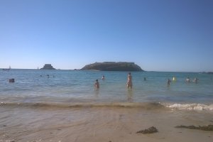
The photo was shot using a SONY NEX-6 camera at an aperture of f/3.5, 1/100 sec. shutter speed and ISO 3200. Sony E PZ 16-50mm F3.5-5.6 OSS or Sony FE 16mm F3.5 Fisheye (SEL28F20 + SEL057FEC) lens was used to capture the image. Flash did not fire, auto mode. The original image file has a resolution of 4884 x 2735 pixels, or in other words 13.4 megapixels.The photo has a resolution of 72 DPI.
According to the image metadata, the photo was shot on Tuesday 1st of October 2013. The local time was 11:25:42. The timezone was Europe / Guernsey, which is GMT +01:00. Please note that timezone was guessed using the GPS coordinates and may not be accurate. The EXIF timestamp may also be wrong if the date and time weren't set correctly in the digital camera.
SONY NEX-6 camera has a built-in GPS receiver and allows geotagging on image files. The coordinates and location where the photo was taken is stored in the EXIF. According to GPS data analysis, the photo was taken at coordinates 48° 21' 52.91" N , 3° 44' 44.70" W. The elevation was 0 meters. Using reverse geocoding, the address associated with the coordinates is guessed as 15 Rue des Cendres, 29690 Huelgoat, France. Depending on the GPS receiver and the reception conditions the accuracy may vary and the address should not be regarded as exact location.


