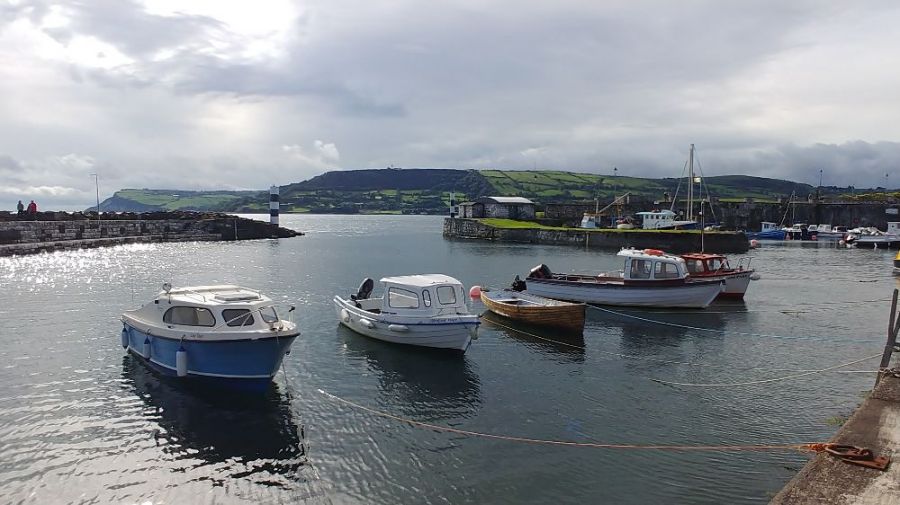
The photo was shot using a LG Electronics VS996 camera at an aperture of f/1.9, 1/1426 sec. shutter speed and ISO 50. Flash did not fire, compulsory flash mode. The original image file has a resolution of 4160 x 2340 pixels, or in other words 9.7 megapixels.The photo has a resolution of 72 DPI.
According to the image metadata, the photo was shot on Saturday 8th of September 2018. The local time was 10:36:38. The timezone was Europe / Isle_of_Man, which is GMT +00:00. Please note that timezone was guessed using the GPS coordinates and may not be accurate. The EXIF timestamp may also be wrong if the date and time weren't set correctly in the digital camera.
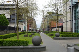
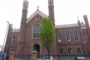
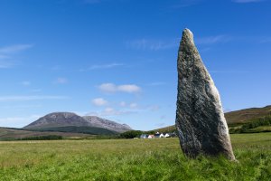
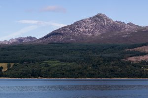
LG Electronics VS996 camera has a built-in GPS receiver and allows geotagging on image files. The coordinates and location where the photo was taken is stored in the EXIF. According to GPS data analysis, the photo was taken at coordinates 54° 59' 38.44" N , 5° 59' 20.28" W. The elevation was 69 meters. Using reverse geocoding, the address associated with the coordinates is guessed as Spar, Harbour Road, Carnlough North, Carnlough, County Antrim, Northern Ireland, BT44 0AB, United Kingdom. Depending on the GPS receiver and the reception conditions the accuracy may vary and the address should not be regarded as exact location.


