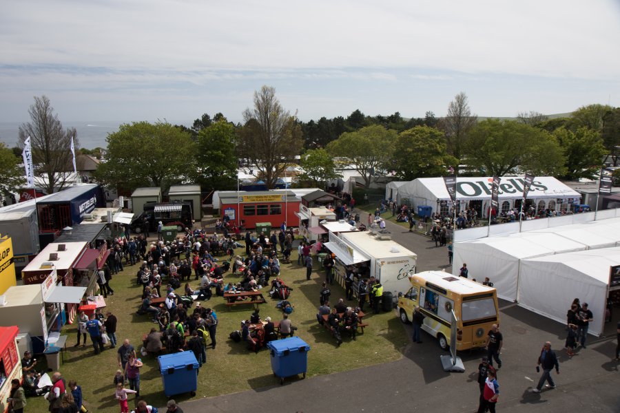
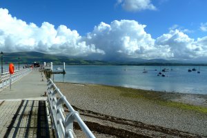
The photo was shot using a Canon EOS 7D Mark II camera at an aperture of f/5.6, 1/160 sec. shutter speed and ISO 100. Canon EF-S 17-55mm f/2.8 IS USM lens was used to capture the image. Flash did not fire, compulsory flash mode. The original image file has a resolution of 5472 x 3648 pixels, or in other words 20.0 megapixels.The photo has a resolution of 240 DPI.
According to the image metadata, the photo was shot on Thursday 4th of June 2015. The local time was 13:52:41. The timezone was Europe / Isle_of_Man, which is GMT +01:00. Please note that timezone was guessed using the GPS coordinates and may not be accurate. The EXIF timestamp may also be wrong if the date and time weren't set correctly in the digital camera.
Canon EOS 7D Mark II camera has a built-in GPS receiver and allows geotagging on image files. The coordinates and location where the photo was taken is stored in the EXIF. According to GPS data analysis, the photo was taken at coordinates 54° 10' 3.67" N , 4° 28' 39.77" W. The elevation was 46 meters. The camera was pointing Southeast at 137.00 degrees. Using reverse geocoding, the address associated with the coordinates is guessed as Pit Lane, Douglas, Isle of Man. Depending on the GPS receiver and the reception conditions the accuracy may vary and the address should not be regarded as exact location.


