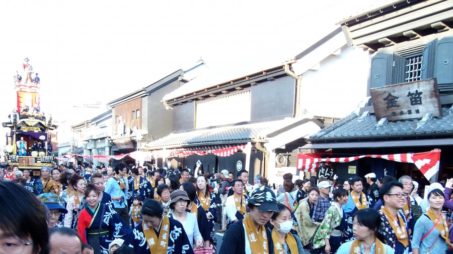
The photo was shot using a OLYMPUS SP-720UZ camera at an aperture of f/3.2, 1/80 sec. shutter speed and ISO 100. Flash did not fire, compulsory flash mode. The original image file has a resolution of 3280 x 1845 pixels, or in other words 6.1 megapixels.The photo has a resolution of 72 DPI.
According to the image metadata, the photo was shot on Sunday 18th of October 2015. The local time was 15:56:19. The timezone was Asia / Tokyo, which is GMT +09:00. Please note that timezone was guessed using the GPS coordinates and may not be accurate. The EXIF timestamp may also be wrong if the date and time weren't set correctly in the digital camera.
OLYMPUS SP-720UZ camera has a built-in GPS receiver and allows geotagging on image files. The coordinates and location where the photo was taken is stored in the EXIF. According to GPS data analysis, the photo was taken at coordinates 35° 55' 27.29" N , 139° 28' 58.50" E. The elevation was 0 meters. Using reverse geocoding, the address associated with the coordinates is guessed as Japan, 〒350-0062 Saitama-ken, Kawagoe-shi, Motomachi, 2 Chome−1 県道39号線. Depending on the GPS receiver and the reception conditions the accuracy may vary and the address should not be regarded as exact location.


