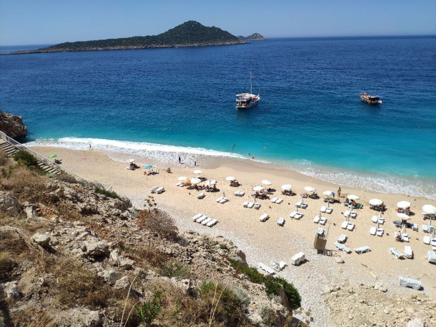
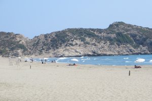
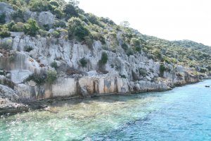
The photo was shot using a Xiaomi MI 8 camera at an aperture of f/1.8, 1/2371 sec. shutter speed and ISO 100. Flash did not fire, compulsory flash mode. The original image file has a resolution of 1000 x 750 pixels, or in other words 0.8 megapixels.The photo has a resolution of 72 DPI.
According to the image metadata, the photo was shot on Friday 31st of May 2019. The local time was 11:02:55. The timezone was Asia / Nicosia, which is GMT +03:00. Please note that timezone was guessed using the GPS coordinates and may not be accurate. The EXIF timestamp may also be wrong if the date and time weren't set correctly in the digital camera.
Xiaomi MI 8 camera has a built-in GPS receiver and allows geotagging on image files. The coordinates and location where the photo was taken is stored in the EXIF. According to GPS data analysis, the photo was taken at coordinates 36° 13' 45.30" N , 29° 26' 58.18" E. The elevation was 40 meters. Using reverse geocoding, the address associated with the coordinates is guessed as Kaputas Plaji, Kaş - Seydikemer Yolu, Çukurbağ Yarımadası, Gökseki, Kaş, Antalya, Mediterranean Region, 07960, Turkey. Depending on the GPS receiver and the reception conditions the accuracy may vary and the address should not be regarded as exact location.
