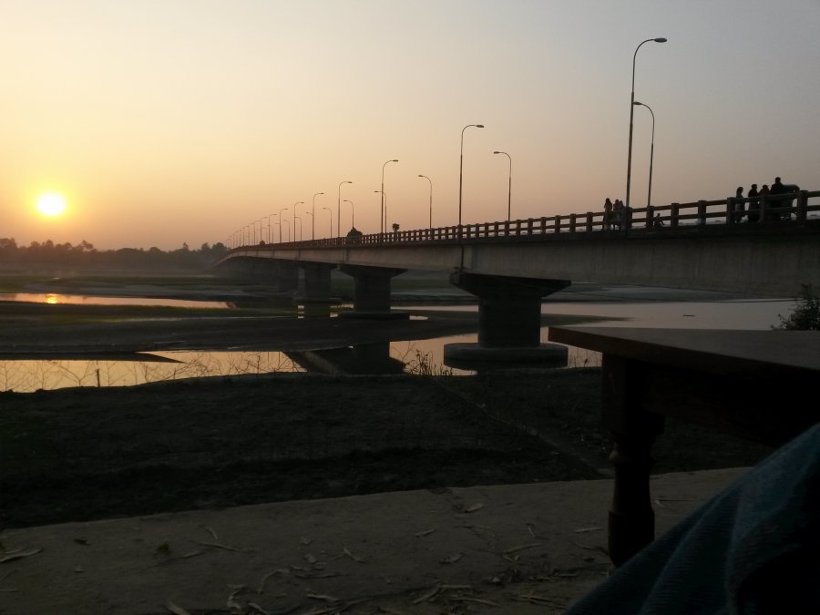
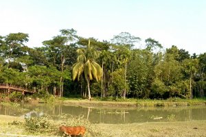
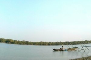
The photo was shot using a Samsung GT-I9192 camera at an aperture of f/2.6, 1/447 sec. shutter speed and ISO 50. Flash did not fire.. The original image file has a resolution of 3264 x 2448 pixels, or in other words 8.0 megapixels.The photo has a resolution of 72 DPI.
According to the image metadata, the photo was shot on Wednesday 23rd of December 2015. The local time was 16:51:45. The timezone was Asia / Thimphu, which is GMT +06:00. Please note that timezone was guessed using the GPS coordinates and may not be accurate. The EXIF timestamp may also be wrong if the date and time weren't set correctly in the digital camera.
Samsung GT-I9192 camera has a built-in GPS receiver and allows geotagging on image files. The coordinates and location where the photo was taken is stored in the EXIF. According to GPS data analysis, the photo was taken at coordinates 25° 49' 13.91" N , 89° 40' 19.16" E. Using reverse geocoding, the address associated with the coordinates is guessed as Dhorla Bridge, Kurigram Hwy, Kurigram, Bangladesh. Depending on the GPS receiver and the reception conditions the accuracy may vary and the address should not be regarded as exact location.
