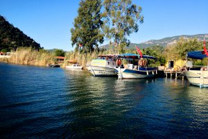
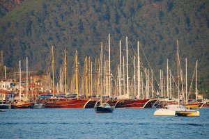
The photo was shot using a Canon PowerShot SX260 HS camera at an aperture of f/4, 1/800 sec. shutter speed and ISO 100. Unknown 4-90mm lens was used to capture the image. Flash did not fire, compulsory flash mode. The original image file has a resolution of 4000 x 2248 pixels, or in other words 9.0 megapixels.The photo has a resolution of 180 DPI.
According to the image metadata, the photo was shot on Sunday 21st of August 2016. The local time was 14:41:34. The timezone was Europe / Athens, which is GMT +03:00. Please note that timezone was guessed using the GPS coordinates and may not be accurate. The EXIF timestamp may also be wrong if the date and time weren't set correctly in the digital camera.
Canon PowerShot SX260 HS camera has a built-in GPS receiver and allows geotagging on image files. The coordinates and location where the photo was taken is stored in the EXIF. According to GPS data analysis, the photo was taken at coordinates 36° 57' 31.51" N , 28° 40' 29.96" E. The elevation was 63 meters. Using reverse geocoding, the address associated with the coordinates is guessed as Ulucami, Atatürk Kordonu, 48800 Yangı/Köyceğiz/Muğla, Turkey. Depending on the GPS receiver and the reception conditions the accuracy may vary and the address should not be regarded as exact location.


