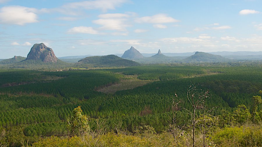
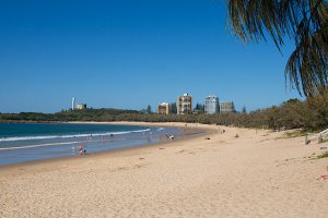
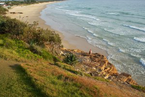
The photo was shot using a NIKON D300 camera at an aperture of f/8, 1/400 sec. shutter speed and ISO 200. Unknown (-2147483648) 18-200mm lens was used to capture the image. Flash did not fire.. The original image file has a resolution of 1972 x 1109 pixels, or in other words 2.2 megapixels.The photo has a resolution of 1 .
According to the image metadata, the photo was shot on Thursday 25th of July 2013. The local time was 03:19:11. The timezone was Australia / Brisbane, which is GMT +10:00. Please note that timezone was guessed using the GPS coordinates and may not be accurate. The EXIF timestamp may also be wrong if the date and time weren't set correctly in the digital camera.
NIKON D300 camera has a built-in GPS receiver and allows geotagging on image files. The coordinates and location where the photo was taken is stored in the EXIF. According to GPS data analysis, the photo was taken at coordinates 26° 55' 48.47" S , 152° 59' 53.68" E. The elevation was 93 meters. Using reverse geocoding, the address associated with the coordinates is guessed as Bruce Highway, Coochin Creek QLD 4519, Australia. Depending on the GPS receiver and the reception conditions the accuracy may vary and the address should not be regarded as exact location.
