The photo was shot using a SONY SLT-A77V camera at an aperture of f/10, 1/400 sec. shutter speed and ISO 400. DT 18-270mm F3.5-6.3 lens was used to capture the image. Flash did not fire, compulsory flash mode. The original image file has a resolution of 3008 x 2000 pixels, or in other words 6.0 megapixels.The photo has a resolution of 72 DPI.
According to the image metadata, the photo was shot on Monday 12th of May 2014. The local time was 15:15:37. The timezone was America / Phoenix, which is GMT -07:00. Please note that timezone was guessed using the GPS coordinates and may not be accurate. The EXIF timestamp may also be wrong if the date and time weren't set correctly in the digital camera.
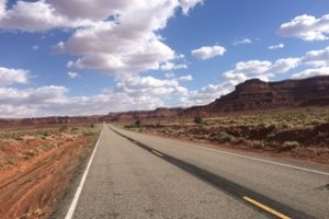
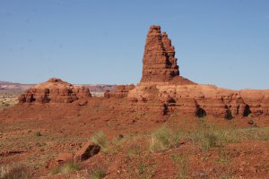
SONY SLT-A77V camera has a built-in GPS receiver and allows geotagging on image files. The coordinates and location where the photo was taken is stored in the EXIF. According to GPS data analysis, the photo was taken at coordinates 36° 40' 42.20" N , 110° 32' 27.46" W. The elevation was 2210 meters. Using reverse geocoding, the address associated with the coordinates is guessed as Sandal Trail, Kayenta, AZ 86033, USA. Depending on the GPS receiver and the reception conditions the accuracy may vary and the address should not be regarded as exact location.


