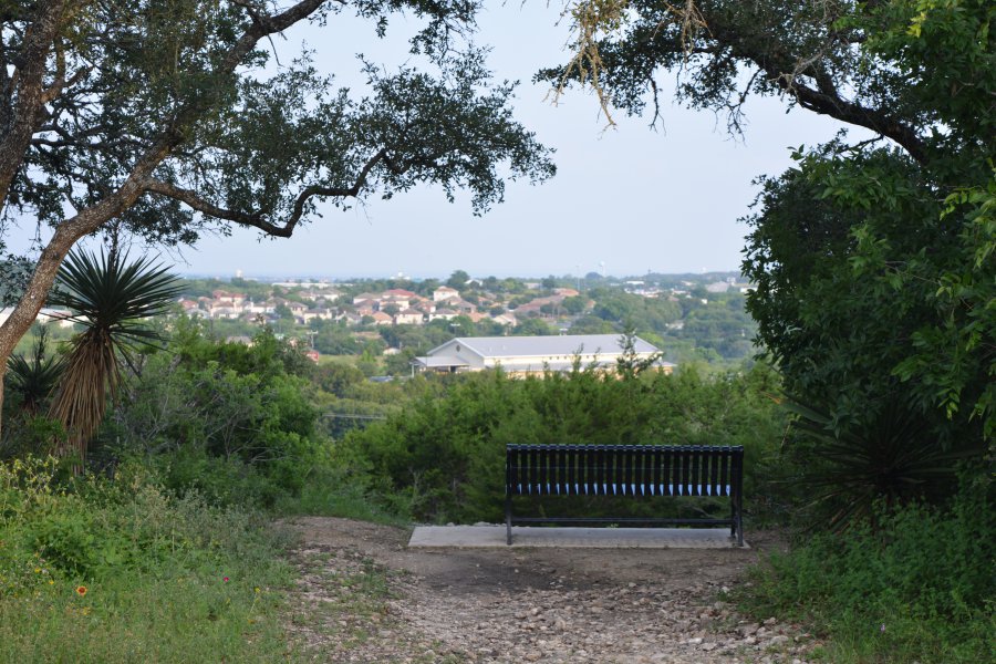
The photo was shot using a NIKON D5200 camera at an aperture of f/5.6, 1/125 sec. shutter speed and ISO 200. AF-S DX VR Nikkor 18-55mm f/3.5-5.6G II lens was used to capture the image. Flash did not fire, auto mode. The original image file has a resolution of 6000 x 4000 pixels, or in other words 24.0 megapixels.The photo has a resolution of 300 DPI.
According to the image metadata, the photo was shot on Friday 13th of May 2016. The local time was 19:08:25. The timezone was America / Matamoros, which is GMT -05:00. Please note that timezone was guessed using the GPS coordinates and may not be accurate. The EXIF timestamp may also be wrong if the date and time weren't set correctly in the digital camera.
NIKON D5200 camera has a built-in GPS receiver and allows geotagging on image files. The coordinates and location where the photo was taken is stored in the EXIF. According to GPS data analysis, the photo was taken at coordinates 29° 35' 5.00" N , 98° 22' 4.31" W. The elevation was 314 meters. The camera was pointing Northeast at 40.90 degrees. Using reverse geocoding, the address associated with the coordinates is guessed as Tower Loop, San Antonio, TX 78247, USA. Depending on the GPS receiver and the reception conditions the accuracy may vary and the address should not be regarded as exact location.


