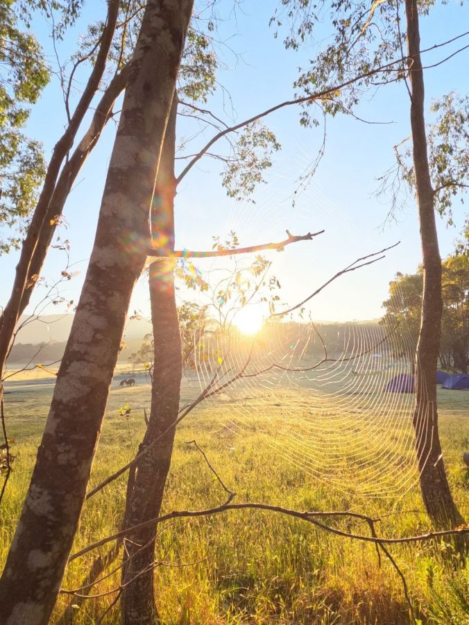
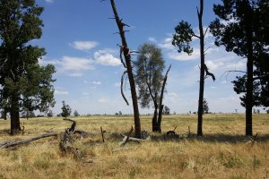
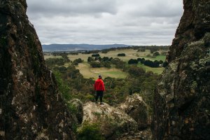
The photo was shot using a GoPro HERO10 Black camera at an aperture of f/2.5, 1/775 sec. shutter speed and ISO 120. No flash function. The original image file has a resolution of 5568 x 4176 pixels, or in other words 23.3 megapixels.The photo has a resolution of 72 DPI.
According to the image metadata, the photo was shot on Saturday 18th of November 2023. The local time was 06:28:52. The timezone was Australia / Melbourne, which is GMT +11:00. Please note that timezone was guessed using the GPS coordinates and may not be accurate. The EXIF timestamp may also be wrong if the date and time weren't set correctly in the digital camera.
GoPro HERO10 Black camera has a built-in GPS receiver and allows geotagging on image files. The coordinates and location where the photo was taken is stored in the EXIF. According to GPS data analysis, the photo was taken at coordinates 36° 32' 34.58" S , 148° 7' 47.39" E. The elevation was 539 meters. Using reverse geocoding, the address associated with the coordinates is guessed as Tom Groggin Track, Tom Groggin, Shire of Towong, Victoria, 3707, Australia. Depending on the GPS receiver and the reception conditions the accuracy may vary and the address should not be regarded as exact location.
