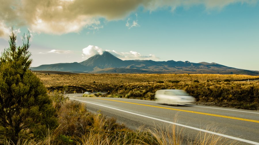
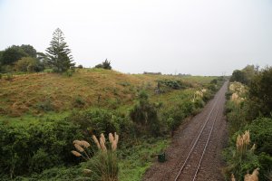
The photo was shot using a NIKON D7000 camera at an aperture of f/13, 1/10 sec. shutter speed and ISO 100. AF-S DX VR Zoom-Nikkor 18-105mm f/3.5-5.6G ED lens was used to capture the image. Flash did not fire, compulsory flash mode. The original image file has a resolution of 2048 x 1152 pixels, or in other words 2.4 megapixels.The photo has a resolution of 240 DPI.
According to the image metadata, the photo was shot on Sunday 24th of November 2013. The local time was 19:19:35. The timezone was Pacific / Auckland, which is GMT +12:00. Please note that timezone was guessed using the GPS coordinates and may not be accurate. The EXIF timestamp may also be wrong if the date and time weren't set correctly in the digital camera.
NIKON D7000 camera has a built-in GPS receiver and allows geotagging on image files. The coordinates and location where the photo was taken is stored in the EXIF. According to GPS data analysis, the photo was taken at coordinates 39° 22' 17.27" S , 175° 42' 35.42" E. The elevation was 0 meters. Using reverse geocoding, the address associated with the coordinates is guessed as State Highway, Waiouru Military Area 4825, New Zealand. Depending on the GPS receiver and the reception conditions the accuracy may vary and the address should not be regarded as exact location.

