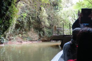
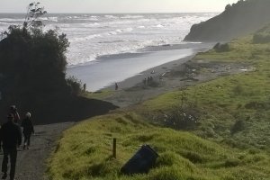
The photo was shot using a Panasonic DMC-ZS20 camera at an aperture of f/4.6, 1/60 sec. shutter speed and ISO 250. Flash did not fire, compulsory flash mode. The original image file has a resolution of 1280 x 851 pixels, or in other words 1.1 megapixels.The photo has a resolution of 180 DPI.
According to the image metadata, the photo was shot on Wednesday 10th of June 2015. The local time was 08:35:45. The timezone was Pacific / Auckland, which is GMT +12:00. Please note that timezone was guessed using the GPS coordinates and may not be accurate. The EXIF timestamp may also be wrong if the date and time weren't set correctly in the digital camera.
Panasonic DMC-ZS20 camera has a built-in GPS receiver and allows geotagging on image files. The coordinates and location where the photo was taken is stored in the EXIF. According to GPS data analysis, the photo was taken at coordinates 38° 43' 43.15" S , 177° 5' 50.64" E. The elevation was 0 meters. Using reverse geocoding, the address associated with the coordinates is guessed as Te Urewera National Park Waikaremoana Road, Urewera National Park 4195, New Zealand. Depending on the GPS receiver and the reception conditions the accuracy may vary and the address should not be regarded as exact location.


