The photo was shot using a NIKON D800 camera at an aperture of f/9, 10/5000 sec. shutter speed and ISO 100. Flash did not fire, compulsory flash mode. The original image file has a resolution of 7360 x 4912 pixels, or in other words 36.2 megapixels.The photo has a resolution of 300 DPI.
According to the image metadata, the photo was shot on Saturday 1st of March 2014. The local time was 10:02:43. The timezone was Africa / Cairo, which is GMT +03:00. Please note that timezone was guessed using the GPS coordinates and may not be accurate. The EXIF timestamp may also be wrong if the date and time weren't set correctly in the digital camera.
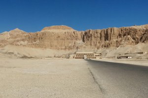
NIKON D800 camera has a built-in GPS receiver and allows geotagging on image files. The coordinates and location where the photo was taken is stored in the EXIF. According to GPS data analysis, the photo was taken at coordinates 25° 42' 42.6" N , 32° 39' 19.2" E. The elevation was 95 meters. The camera was pointing Northeast at 39.00 degrees. Using reverse geocoding, the address associated with the coordinates is guessed as Al Oksor Road to Naga Al Tawyl, El-Karnak, Luxor, Luxor Governorate, Egypt. Depending on the GPS receiver and the reception conditions the accuracy may vary and the address should not be regarded as exact location.
