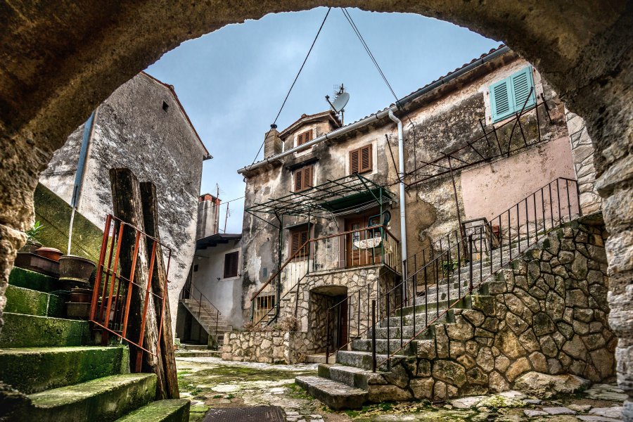
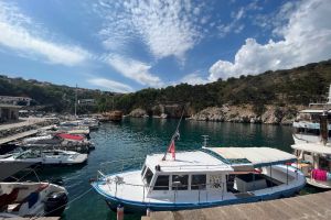
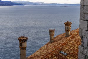
The photo was shot using a NIKON D800 camera at an aperture of f/5, 1/160 sec. shutter speed and ISO 500. AF-S Zoom-Nikkor 14-24mm f/2.8G ED lens was used to capture the image. Flash did not fire, compulsory flash mode. The original image file has a resolution of 6231 x 4159 pixels, or in other words 25.9 megapixels.The photo has a resolution of 240 DPI.
According to the image metadata, the photo was shot on Sunday 16th of February 2014. The local time was 13:16:29. The timezone was Europe / Ljubljana, which is GMT +02:00. Please note that timezone was guessed using the GPS coordinates and may not be accurate. The EXIF timestamp may also be wrong if the date and time weren't set correctly in the digital camera.
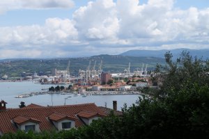
NIKON D800 camera has a built-in GPS receiver and allows geotagging on image files. The coordinates and location where the photo was taken is stored in the EXIF. According to GPS data analysis, the photo was taken at coordinates 45° 13' 36.14" N , 14° 14' 55.81" E. The elevation was 192 meters. Using reverse geocoding, the address associated with the coordinates is guessed as D66 20, 51417, Mošćenička Draga, Croatia. Depending on the GPS receiver and the reception conditions the accuracy may vary and the address should not be regarded as exact location.
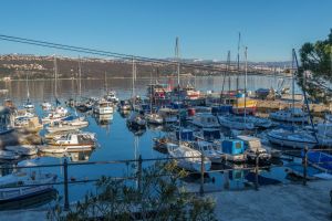
Obalno šetalište Franje Josipa I, Opatija, Primorsko-goranska županija, Croatia
13.09 km / 8.13 miles away
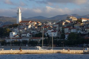
Obala kneza Domagoja, Novi Vinodolski, Primorsko-goranska županija, Croatia
43.64 km / 27.1 miles away


