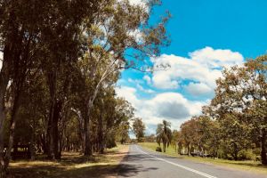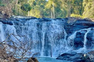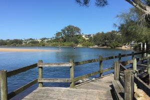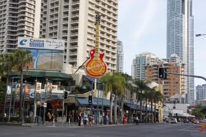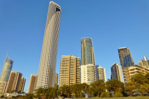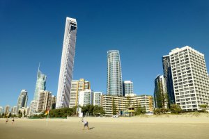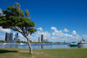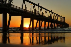
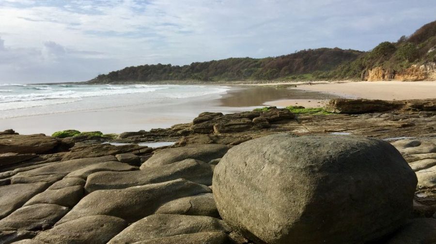
The photo was shot using a Apple iPhone 6 Plus camera at an aperture of f/2.2, 1/3968 sec. shutter speed and ISO 32. iPhone 6 Plus back camera 4.15mm f/2.2 lens was used to capture the image. Flash did not fire, compulsory flash mode. The original image file has a resolution of 3216 x 1809 pixels, or in other words 5.8 megapixels.The photo has a resolution of 72 DPI.
According to the image metadata, the photo was shot on Thursday 16th of January 2020. The local time was 08:12:03. The timezone was Australia / Brisbane, which is GMT +10:00. Please note that timezone was guessed using the GPS coordinates and may not be accurate. The EXIF timestamp may also be wrong if the date and time weren't set correctly in the digital camera.
Apple iPhone 6 Plus camera has a built-in GPS receiver and allows geotagging on image files. The coordinates and location where the photo was taken is stored in the EXIF. According to GPS data analysis, the photo was taken at coordinates 29° 28' 8.01" S , 153° 21' 30.40" E. The elevation was 8 meters. The camera was pointing South at 190.42 degrees. Using reverse geocoding, the address associated with the coordinates is guessed as Angourie Road, Angourie, Wooloweyah, New South Wales, 2464, Australia. Depending on the GPS receiver and the reception conditions the accuracy may vary and the address should not be regarded as exact location.