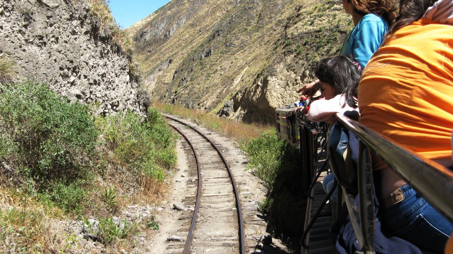
The photo was shot using a Canon PowerShot A700 camera at an aperture of f/4, 1/500 sec. shutter speed and ISO 75. Unknown 5-34mm lens was used to capture the image. 8Flash did not fire.. The original image file has a resolution of 2816 x 1584 pixels, or in other words 4.5 megapixels.The photo has a resolution of 180 .
According to the image metadata, the photo was shot on Friday 30th of June 2006. The local time was 11:37:17. The timezone was America / Guayaquil, which is GMT -05:00. Please note that timezone was guessed using the GPS coordinates and may not be accurate. The EXIF timestamp may also be wrong if the date and time weren't set correctly in the digital camera.
Canon PowerShot A700 camera has a built-in GPS receiver and allows geotagging on image files. The coordinates and location where the photo was taken is stored in the EXIF. According to GPS data analysis, the photo was taken at coordinates 2° 14' 0.58" S , 78° 52' 1.88" W. The elevation was 0 meters. Using reverse geocoding, the address associated with the coordinates is guessed as Carretera Gonzol, Ecuador. Depending on the GPS receiver and the reception conditions the accuracy may vary and the address should not be regarded as exact location.