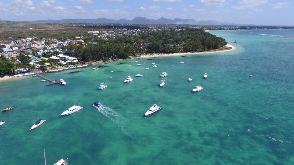
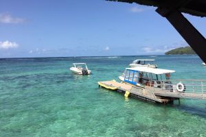
The photo was shot using a DJI FC300S camera at an aperture of f/2.8, 1/1232 sec. shutter speed and ISO 100. No flash function. The original image file has a resolution of 1000 x 562 pixels, or in other words 0.6 megapixels.The photo has a resolution of 72 DPI.
According to the image metadata, the photo was shot on Wednesday 18th of October 2017. The local time was 14:06:28. The timezone was Indian / Mauritius, which is GMT +04:00. Please note that timezone was guessed using the GPS coordinates and may not be accurate. The EXIF timestamp may also be wrong if the date and time weren't set correctly in the digital camera.
DJI FC300S camera has a built-in GPS receiver and allows geotagging on image files. The coordinates and location where the photo was taken is stored in the EXIF. According to GPS data analysis, the photo was taken at coordinates 20° 1' 23.42" S , 57° 32' 56.12" E. The elevation was 28 meters. Using reverse geocoding, the address associated with the coordinates is guessed as B36, Trou-aux-Biches, Mauritius. Depending on the GPS receiver and the reception conditions the accuracy may vary and the address should not be regarded as exact location.


