The photo was shot using a Google Pixel 2 camera at an aperture of f/1.8, 1/7813 sec. shutter speed and ISO 65. Flash did not fire, compulsory flash mode. The original image file has a resolution of 4032 x 3024 pixels, or in other words 12.2 megapixels.The photo has a resolution of 72 DPI.
According to the image metadata, the photo was shot on Monday 11th of November 2019. The local time was 11:44:10. The timezone was Australia / Adelaide, which is GMT +09:30. Please note that timezone was guessed using the GPS coordinates and may not be accurate. The EXIF timestamp may also be wrong if the date and time weren't set correctly in the digital camera.
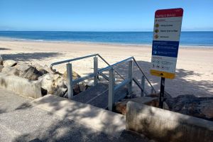
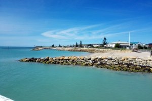
Google Pixel 2 camera has a built-in GPS receiver and allows geotagging on image files. The coordinates and location where the photo was taken is stored in the EXIF. According to GPS data analysis, the photo was taken at coordinates 34° 54' 15.68" S , 138° 29' 15.05" E. The elevation was 7 meters. The camera was pointing at 18.00 degrees. Using reverse geocoding, the address associated with the coordinates is guessed as Grange Beach, Esplanade, Henley Beach, City of Charles Sturt, South Australia, 5022, Australia. Depending on the GPS receiver and the reception conditions the accuracy may vary and the address should not be regarded as exact location.

