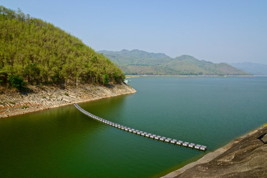
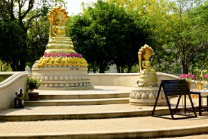
The photo was shot using a SONY SLT-A77V camera at an aperture of f/9.5, 1/200 sec. shutter speed and ISO 100. Flash did not fire, compulsory flash mode. The original image file has a resolution of 6000 x 4000 pixels, or in other words 24.0 megapixels.The photo has a resolution of 72 DPI.
According to the image metadata, the photo was shot on Saturday 4th of April 2015. The local time was 09:37:17. The timezone was Asia / Bangkok, which is GMT +07:00. Please note that timezone was guessed using the GPS coordinates and may not be accurate. The EXIF timestamp may also be wrong if the date and time weren't set correctly in the digital camera.
SONY SLT-A77V camera has a built-in GPS receiver and allows geotagging on image files. The coordinates and location where the photo was taken is stored in the EXIF. According to GPS data analysis, the photo was taken at coordinates 14° 24' 22.6" N , 99° 7' 32.8" E. The elevation was 179 meters. Using reverse geocoding, the address associated with the coordinates is guessed as Unnamed Road, Tambon Tha Kradan, Amphoe Si Sawat, Chang Wat Kanchanaburi 71250, Thailand. Depending on the GPS receiver and the reception conditions the accuracy may vary and the address should not be regarded as exact location.
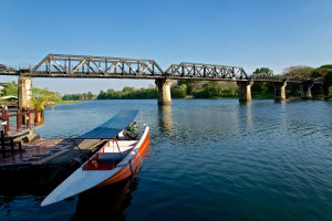
Thetsaban Tambon Kaeng Sian, Amphoe Mueang Kanchanaburi, Chang Wat Kanchanaburi, Thailand
57.4 km / 35.64 miles away
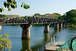
Thetsaban Tambon Kaeng Sian, Amphoe Mueang Kanchanaburi, Chang Wat Kanchanaburi, Thailand
57.41 km / 35.65 miles away
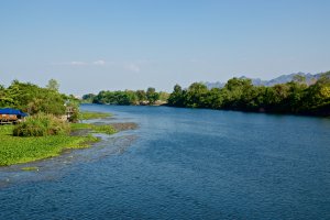
Thetsaban Tambon Kaeng Sian, Amphoe Mueang Kanchanaburi, Chang Wat Kanchanaburi, Thailand
57.45 km / 35.68 miles away


