The photo was shot using a SONY ILCE-6000 camera at an aperture of f/11, 1/125 sec. shutter speed and ISO 100. Sony E PZ 16-50mm F3.5-5.6 OSS lens was used to capture the image. Flash did not fire, auto mode. The original image file has a resolution of 6000 x 4000 pixels, or in other words 24.0 megapixels.The photo has a resolution of 350 DPI.
According to the image metadata, the photo was shot on Thursday 4th of June 2015. The local time was 10:26:25. The timezone was Europe / Amsterdam, which is GMT +02:00. Please note that timezone was guessed using the GPS coordinates and may not be accurate. The EXIF timestamp may also be wrong if the date and time weren't set correctly in the digital camera.
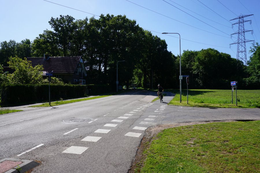
SONY ILCE-6000 camera has a built-in GPS receiver and allows geotagging on image files. The coordinates and location where the photo was taken is stored in the EXIF. According to GPS data analysis, the photo was taken at coordinates 52° 9' 18.72" N , 5° 58' 11.03" E. The elevation was 37 meters. The camera was pointing Southeast at 145.99 degrees. Using reverse geocoding, the address associated with the coordinates is guessed as Koningsweg 2, 7361 TB Beekbergen, Netherlands. Depending on the GPS receiver and the reception conditions the accuracy may vary and the address should not be regarded as exact location.