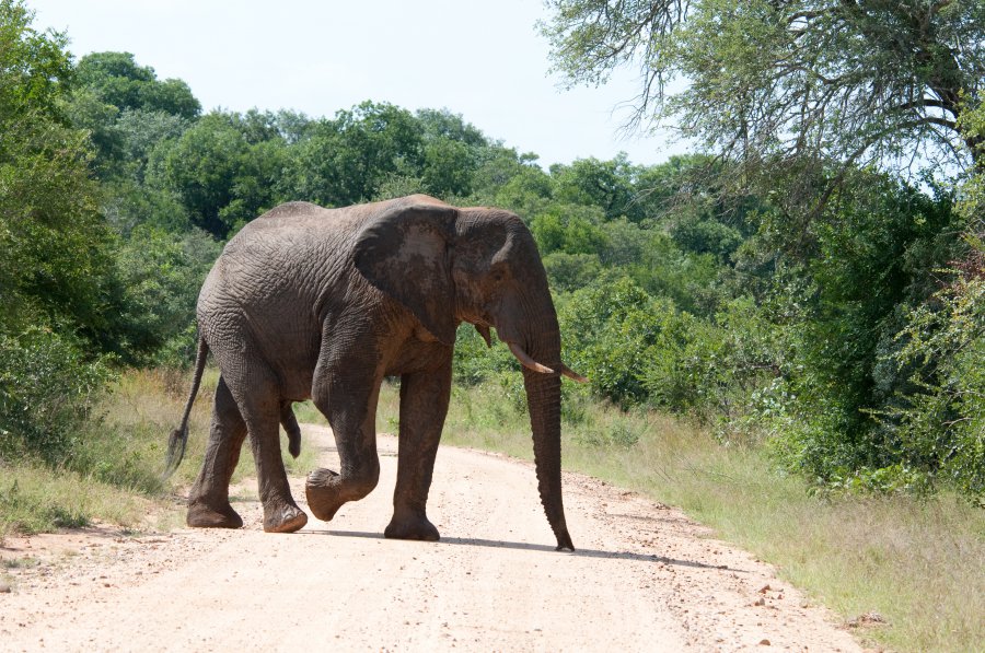
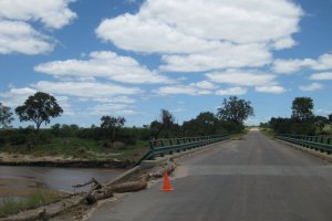
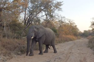
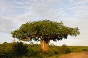
The photo was shot using a NIKON D300 camera at an aperture of f/8, 1/800 sec. shutter speed and ISO 560. 80-400mm f/4.5-5.6 lens was used to capture the image. Flash did not fire.. The original image file has a resolution of 4288 x 2848 pixels, or in other words 12.2 megapixels.The photo has a resolution of 240 DPI.
According to the image metadata, the photo was shot on Wednesday 1st of April 2009. The local time was 10:12:17. The timezone was Africa / Mbabane, which is GMT +02:00. Please note that timezone was guessed using the GPS coordinates and may not be accurate. The EXIF timestamp may also be wrong if the date and time weren't set correctly in the digital camera.
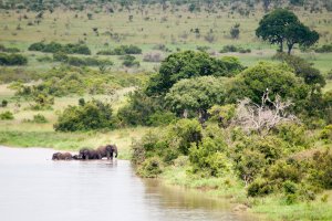
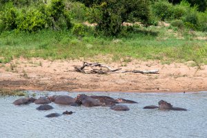
NIKON D300 camera has a built-in GPS receiver and allows geotagging on image files. The coordinates and location where the photo was taken is stored in the EXIF. According to GPS data analysis, the photo was taken at coordinates 24° 58' 22.46" S , 31° 20' 6.78" E. The elevation was 348 meters. Using reverse geocoding, the address associated with the coordinates is guessed as Sabie River Road, Kruger Park, South Africa. Depending on the GPS receiver and the reception conditions the accuracy may vary and the address should not be regarded as exact location.