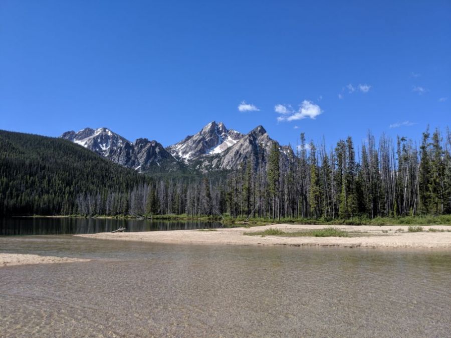
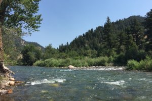
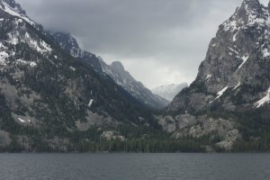
The photo was shot using a Google Pixel 3 XL camera at an aperture of f/1.8, 1/2611 sec. shutter speed and ISO 59. Flash did not fire, auto mode. The original image file has a resolution of 1000 x 750 pixels, or in other words 0.8 megapixels.The photo has a resolution of 72 DPI.
According to the image metadata, the photo was shot on Monday 1st of July 2019. The local time was 10:44:28. The timezone was America / Boise, which is GMT -06:00. Please note that timezone was guessed using the GPS coordinates and may not be accurate. The EXIF timestamp may also be wrong if the date and time weren't set correctly in the digital camera.
Google Pixel 3 XL camera has a built-in GPS receiver and allows geotagging on image files. The coordinates and location where the photo was taken is stored in the EXIF. According to GPS data analysis, the photo was taken at coordinates 44° 14' 40.08" N , 115° 3' 51.46" W. The elevation was 2017 meters. Using reverse geocoding, the address associated with the coordinates is guessed as Stanley Lake, National Forest Development Road 649, Custer County, Idaho, USA. Depending on the GPS receiver and the reception conditions the accuracy may vary and the address should not be regarded as exact location.
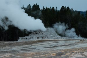
Continental Divide Trail, Yellowstone National Park, Wyoming, United States
336.66 km / 209.07 miles away
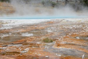
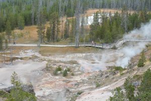
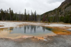
Fountain Paint Pot Trail, Yellowstone National Park, Wyoming, United States
339.51 km / 210.84 miles away
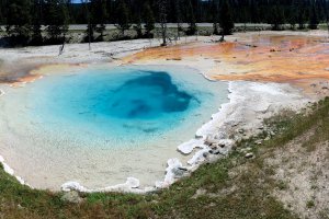
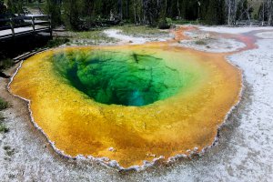
Fountain Paint Pot Trail, Yellowstone National Park, Wyoming, United States
339.53 km / 210.85 miles away
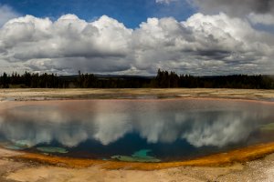
Artist's Paint Pots Trail, Yellowstone National Park, Wyoming, United States
346.43 km / 215.13 miles away