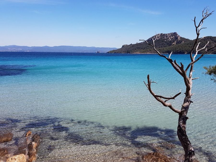
The photo was shot using a Samsung SM-G930F camera at an aperture of f/1.7, 1/2328 sec. shutter speed and ISO 40. Flash did not fire.. The original image file has a resolution of 4032 x 3024 pixels, or in other words 12.2 megapixels.The photo has a resolution of 1 .
According to the image metadata, the photo was shot on Monday 8th of April 2019. The local time was 11:51:57. The timezone was Europe / Monaco, which is GMT +01:00. Please note that timezone was guessed using the GPS coordinates and may not be accurate. The EXIF timestamp may also be wrong if the date and time weren't set correctly in the digital camera.
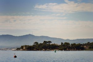
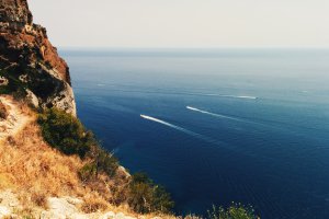
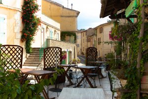
Samsung SM-G930F camera has a built-in GPS receiver and allows geotagging on image files. The coordinates and location where the photo was taken is stored in the EXIF. According to GPS data analysis, the photo was taken at coordinates 43° 0' 36.00" N , 6° 13' 38.00" E. The elevation was 101 meters. Using reverse geocoding, the address associated with the coordinates is guessed as Chemin Notre-Dame, Porquerolles, Hyères, Toulon, Var, Provence-Alpes-Côte d'Azur, Metropolitan France, 83400, France. Depending on the GPS receiver and the reception conditions the accuracy may vary and the address should not be regarded as exact location.
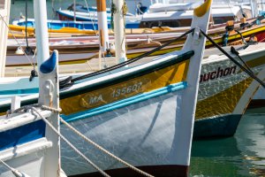
Quai Jean Jacques Barthélémy, Bouches-du-Rhône, Provence-Alpes-Côte d'Azur, France
60.44 km / 37.53 miles away
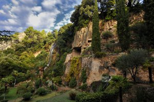
Boulevard Georges Clemenceau, Villecroze, Provence-Alpes-Côte d'Azur, France
63.96 km / 39.72 miles away

