The photo was shot using a Canon PowerShot SX260 HS camera at an aperture of f/4, 1/1000 sec. shutter speed and ISO 160. Flash did not fire, auto mode. The original image file has a resolution of 4000 x 3000 pixels, or in other words 12.0 megapixels.The photo has a resolution of 180 DPI.
According to the image metadata, the photo was shot on Monday 11th of August 2014. The local time was 15:59:36. The timezone was Europe / Gibraltar, which is GMT +02:00. Please note that timezone was guessed using the GPS coordinates and may not be accurate. The EXIF timestamp may also be wrong if the date and time weren't set correctly in the digital camera.
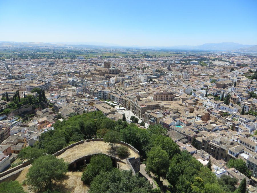
Canon PowerShot SX260 HS camera has a built-in GPS receiver and allows geotagging on image files. The coordinates and location where the photo was taken is stored in the EXIF. According to GPS data analysis, the photo was taken at coordinates 37° 10' 37.4" N , 3° 35' 32.2" W. The elevation was 804 meters. Using reverse geocoding, the address associated with the coordinates is guessed as Cuesta de la Churra, 12, 18009 Granada, Granada, Spain. Depending on the GPS receiver and the reception conditions the accuracy may vary and the address should not be regarded as exact location.


