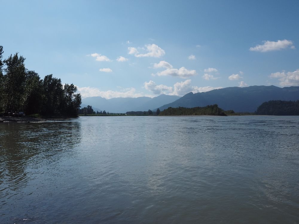
The photo was shot using a OLYMPUS E-M1 camera at an aperture of f/5.6, 1/2500 sec. shutter speed and ISO 200. Olympus M.Zuiko Digital ED 12-40mm F2.8 Pro lens was used to capture the image. Flash did not fire, auto mode. The original image file has a resolution of 1000 x 750 pixels, or in other words 0.8 megapixels.The photo has a resolution of 350 DPI.
According to the image metadata, the photo was shot on Sunday 23rd of July 2017. The local time was 16:54:57. The timezone was America / Vancouver, which is GMT -07:00. Please note that timezone was guessed using the GPS coordinates and may not be accurate. The EXIF timestamp may also be wrong if the date and time weren't set correctly in the digital camera.
OLYMPUS E-M1 camera has a built-in GPS receiver and allows geotagging on image files. The coordinates and location where the photo was taken is stored in the EXIF. According to GPS data analysis, the photo was taken at coordinates 49° 12' 12.52" N , 121° 47' 2.83" W. The elevation was 10 meters. Using reverse geocoding, the address associated with the coordinates is guessed as 10900 Rosedale Ferry Rd, Rosedale, BC V0X 1X0, Canada. Depending on the GPS receiver and the reception conditions the accuracy may vary and the address should not be regarded as exact location.