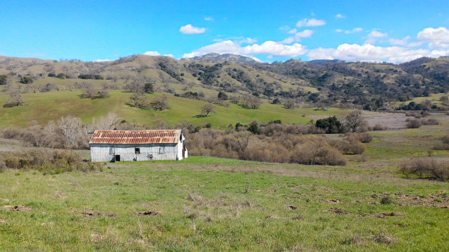
The photo was shot using a ASUS Z00AD camera at an aperture of f/2, 1/2500 sec. shutter speed and ISO 50. Flash did not fire.. The original image file has a resolution of 4096 x 2304 pixels, or in other words 9.4 megapixels.The photo has a resolution of 72 DPI.
According to the image metadata, the photo was shot on Sunday 26th of February 2017. The local time was 12:49:47. The timezone was America / Los_Angeles, which is GMT -08:00. Please note that timezone was guessed using the GPS coordinates and may not be accurate. The EXIF timestamp may also be wrong if the date and time weren't set correctly in the digital camera.
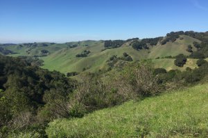
ASUS Z00AD camera has a built-in GPS receiver and allows geotagging on image files. The coordinates and location where the photo was taken is stored in the EXIF. According to GPS data analysis, the photo was taken at coordinates 37° 19' 30.83" N , 121° 42' 48.52" W. The elevation was 411 meters. Using reverse geocoding, the address associated with the coordinates is guessed as Lower San Felipe Trail, Evergreen, CA, USA. Depending on the GPS receiver and the reception conditions the accuracy may vary and the address should not be regarded as exact location.


