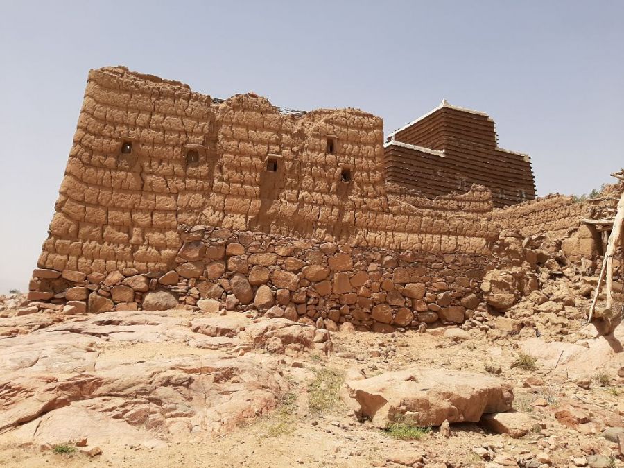
The photo was shot using a Samsung SM-A505F camera at an aperture of f/1.7, 1/3125 sec. shutter speed and ISO 40. Flash did not fire.. The original image file has a resolution of 4032 x 3024 pixels, or in other words 12.2 megapixels.The photo has a resolution of 72 DPI.
According to the image metadata, the photo was shot on Monday 5th of April 2021. The local time was 10:55:42. The timezone was Africa / Asmara, which is GMT +03:00. Please note that timezone was guessed using the GPS coordinates and may not be accurate. The EXIF timestamp may also be wrong if the date and time weren't set correctly in the digital camera.
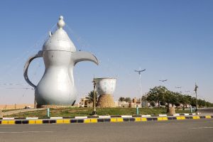
Samsung SM-A505F camera has a built-in GPS receiver and allows geotagging on image files. The coordinates and location where the photo was taken is stored in the EXIF. According to GPS data analysis, the photo was taken at coordinates 18° 5' 11.25" N , 42° 47' 42.89" E. The elevation was 2231 meters. Using reverse geocoding, the address associated with the coordinates is guessed as Al Wadiyayn, Ahad Rufaydah, 'Asir Region, Saudi Arabia. Depending on the GPS receiver and the reception conditions the accuracy may vary and the address should not be regarded as exact location.
