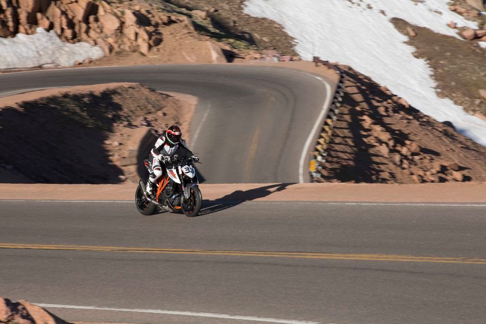
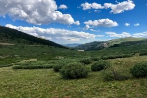
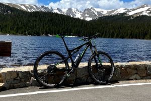
The photo was shot using a Canon EOS 5D Mark III camera at an aperture of f/18, 1/200 sec. shutter speed and ISO 320. EF70-200mm f/2.8L IS II USM lens was used to capture the image. Flash did not fire.. The original image file has a resolution of 1000 x 666 pixels, or in other words 0.7 megapixels.The photo has a resolution of 300 DPI.
According to the image metadata, the photo was shot on Wednesday 21st of June 2017. The local time was 06:24:56. The timezone was America / Denver, which is GMT -06:00. Please note that timezone was guessed using the GPS coordinates and may not be accurate. The EXIF timestamp may also be wrong if the date and time weren't set correctly in the digital camera.
Canon EOS 5D Mark III camera has a built-in GPS receiver and allows geotagging on image files. The coordinates and location where the photo was taken is stored in the EXIF. According to GPS data analysis, the photo was taken at coordinates 38° 52' 16.09" N , 105° 3' 58.28" W. The elevation was 3748 meters. The camera was pointing at 65535.00 degrees. Using reverse geocoding, the address associated with the coordinates is guessed as Pikes Peak Toll Rd, Colorado, USA. Depending on the GPS receiver and the reception conditions the accuracy may vary and the address should not be regarded as exact location.

