The photo was shot using a Canon EOS 70D camera at an aperture of f/8, 1/640 sec. shutter speed and ISO 200. Sigma 17-50mm f/2.8 OS HSM or Tamron SP 17-50mm f/2.8 XR Di II VC lens was used to capture the image. Flash did not fire.. The original image file has a resolution of 2736 x 1824 pixels, or in other words 5.0 megapixels.The photo has a resolution of 240 DPI.
According to the image metadata, the photo was shot on Friday 29th of May 2015. The local time was 15:09:00. The timezone was America / Toronto, which is GMT -04:00. Please note that timezone was guessed using the GPS coordinates and may not be accurate. The EXIF timestamp may also be wrong if the date and time weren't set correctly in the digital camera.
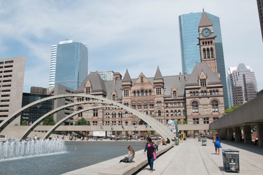
Canon EOS 70D camera has a built-in GPS receiver and allows geotagging on image files. The coordinates and location where the photo was taken is stored in the EXIF. According to GPS data analysis, the photo was taken at coordinates 43° 39' 9.11" N , 79° 23' 0.84" W. The elevation was 151 meters. The camera was pointing East at 89.00 degrees. Using reverse geocoding, the address associated with the coordinates is guessed as 280 The PATH - City Hall, Toronto, ON M5H, Canada. Depending on the GPS receiver and the reception conditions the accuracy may vary and the address should not be regarded as exact location.


