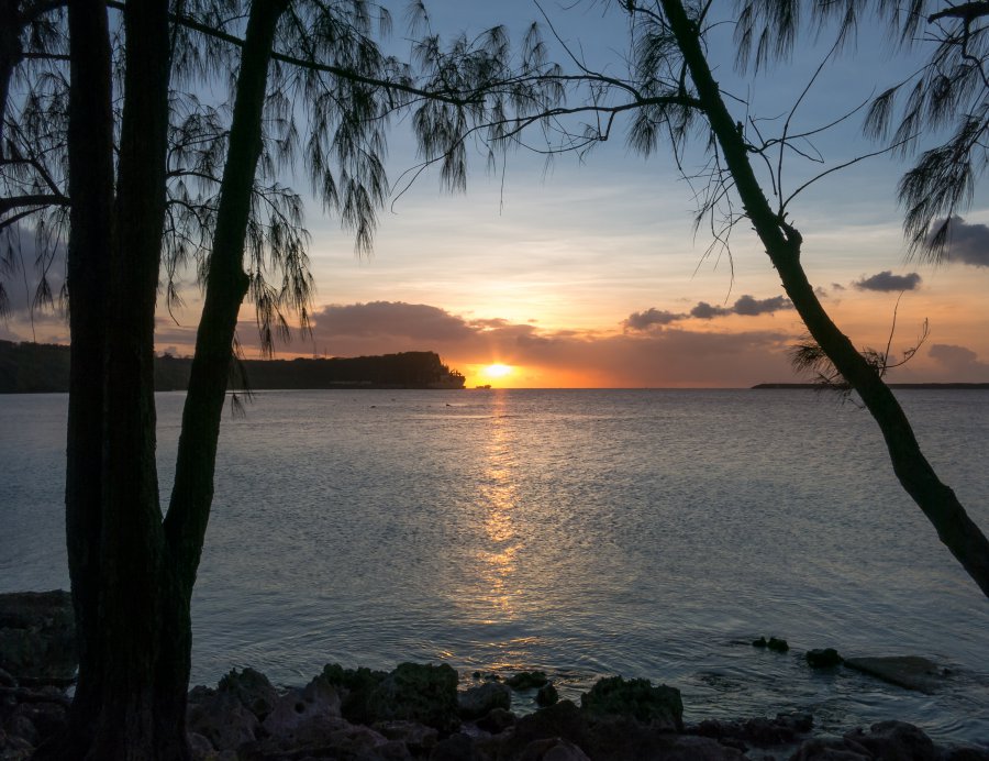
The photo was shot using a Canon PowerShot S110 camera at an aperture of f/5.6, 1/320 sec. shutter speed and ISO 80. 5.2-26.0 mm lens was used to capture the image. Flash did not fire, compulsory flash mode. The original image file has a resolution of 3899 x 3000 pixels, or in other words 11.7 megapixels.The photo has a resolution of 240 DPI.
According to the image metadata, the photo was shot on Friday 8th of May 2015. The local time was 18:30:07. The timezone was Pacific / Guam, which is GMT +10:00. Please note that timezone was guessed using the GPS coordinates and may not be accurate. The EXIF timestamp may also be wrong if the date and time weren't set correctly in the digital camera.
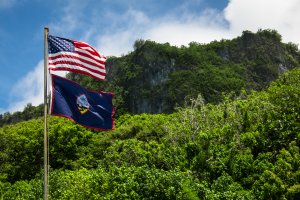
Canon PowerShot S110 camera has a built-in GPS receiver and allows geotagging on image files. The coordinates and location where the photo was taken is stored in the EXIF. According to GPS data analysis, the photo was taken at coordinates 13° 26' 33.95" N , 144° 38' 39.55" E. The elevation was 0 meters. Using reverse geocoding, the address associated with the coordinates is guessed as Arote AF, Santa Rita, Guam. Depending on the GPS receiver and the reception conditions the accuracy may vary and the address should not be regarded as exact location.
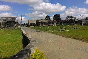
Gen. Douglas MacArthur Highway, Davao City, Davao Region, Philippines
2198.49 km / 1365.26 miles away

