
The photo was shot using a Canon PowerShot SX280 HS camera at an aperture of f/4, 1/1250 sec. shutter speed and ISO 200. Unknown 4-90mm lens was used to capture the image. Flash did not fire, compulsory flash mode. The original image file has a resolution of 4000 x 2248 pixels, or in other words 9.0 megapixels.The photo has a resolution of 180 DPI.
According to the image metadata, the photo was shot on Monday 6th of October 2014. The local time was 05:49:51. The timezone was Europe / Madrid, which is GMT +01:00. Please note that timezone was guessed using the GPS coordinates and may not be accurate. The EXIF timestamp may also be wrong if the date and time weren't set correctly in the digital camera.
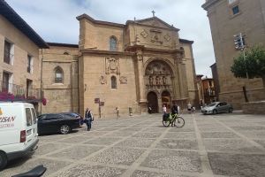
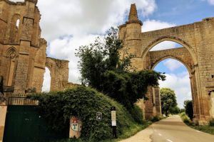
Canon PowerShot SX280 HS camera has a built-in GPS receiver and allows geotagging on image files. The coordinates and location where the photo was taken is stored in the EXIF. According to GPS data analysis, the photo was taken at coordinates 42° 35' 24.44" N , 2° 47' 35.36" W. The elevation was 0 meters. Using reverse geocoding, the address associated with the coordinates is guessed as De la Paz Plaza, 1, 01330 Labastida, Araba, Spain. Depending on the GPS receiver and the reception conditions the accuracy may vary and the address should not be regarded as exact location.
