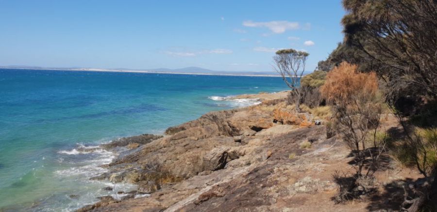
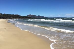
The photo was shot using a Samsung SM-G960F camera at an aperture of f/2.4, 1/1433 sec. shutter speed and ISO 50. Flash did not fire.. The original image file has a resolution of 1000 x 486 pixels, or in other words 0.5 megapixels.The photo has a resolution of 72 DPI.
According to the image metadata, the photo was shot on Tuesday 19th of February 2019. The local time was 14:56:32. The timezone was Australia / Hobart, which is GMT +11:00. Please note that timezone was guessed using the GPS coordinates and may not be accurate. The EXIF timestamp may also be wrong if the date and time weren't set correctly in the digital camera.
Samsung SM-G960F camera has a built-in GPS receiver and allows geotagging on image files. The coordinates and location where the photo was taken is stored in the EXIF. According to GPS data analysis, the photo was taken at coordinates 40° 59' 2.00" S , 147° 23' 19.00" E. Using reverse geocoding, the address associated with the coordinates is guessed as Granite Point Conservation Area, Richard Street, Bridport, Tasmania, Australia. Depending on the GPS receiver and the reception conditions the accuracy may vary and the address should not be regarded as exact location.

