The photo was shot using a Samsung Galaxy S24 camera at an aperture of f/1.8, 1/2912 sec. shutter speed and ISO 25. Flash did not fire.. The original image file has a resolution of 4000 x 1848 pixels, or in other words 7.4 megapixels.The photo has a resolution of 72 DPI.
According to the image metadata, the photo was shot on Friday 6th of February 2026. The local time was 10:32:08. The timezone was America / Punta_Arenas, which is GMT -03:00. Please note that timezone was guessed using the GPS coordinates and may not be accurate. The EXIF timestamp may also be wrong if the date and time weren't set correctly in the digital camera.
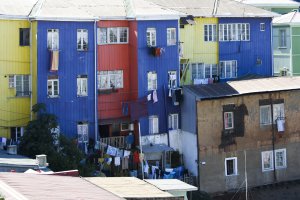
Samsung Galaxy S24 camera has a built-in GPS receiver and allows geotagging on image files. The coordinates and location where the photo was taken is stored in the EXIF. According to GPS data analysis, the photo was taken at coordinates 53° 9' 53.78" S , 70° 54' 4.63" W. The elevation was 20 meters. Using reverse geocoding, the address associated with the coordinates is guessed as Muelle Loreto, Avenida Costanera del Estrecho, Barrio Croata, Punta Arenas, Provincia de Magallanes, Magallanes and Chilean Antarctica Region, 6212814, Chile. Depending on the GPS receiver and the reception conditions the accuracy may vary and the address should not be regarded as exact location.
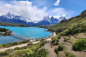
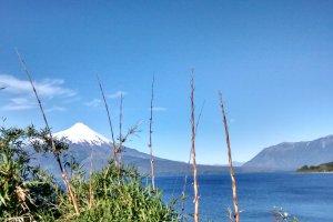
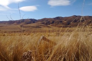
Ruta Y-150, Torres del Paine, Region of Magallanes and Chilean Antarctica, Chile
270.09 km / 167.73 miles away
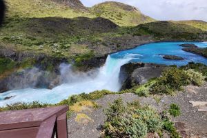
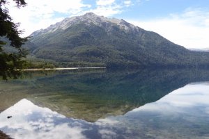
Camino Pudeto Catamarán, Torres del Paine, Region of Magallanes and Chilean Antarctica, Chile
273.59 km / 169.9 miles away

Camino Pudeto Catamarán, Torres del Paine, Region of Magallanes and Chilean Antarctica, Chile
275.5 km / 171.09 miles away
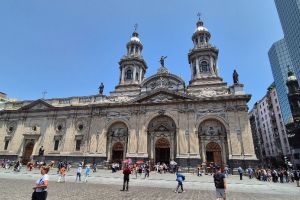
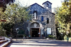
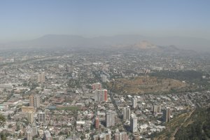
Plaza de Armas de Santiago de Chile, Santiago Metropolitan Region, Chile
2190.73 km / 1360.44 miles away