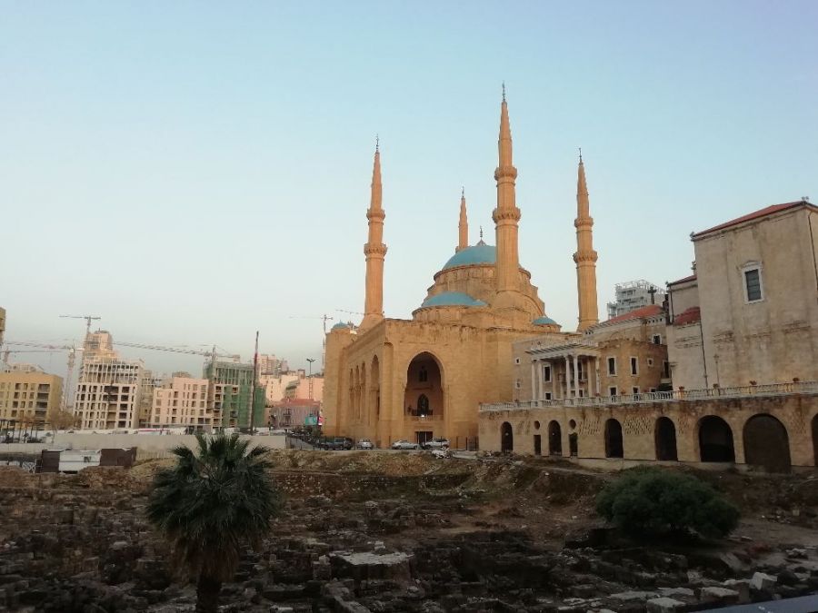
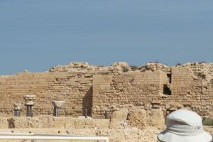
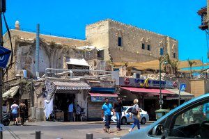
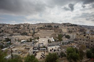
The photo was shot using a HUAWEI FIG-LX1 camera at an aperture of f/2.2, 1/190 sec. shutter speed and ISO 50. Flash did not fire.. The original image file has a resolution of 4160 x 3120 pixels, or in other words 13.0 megapixels.The photo has a resolution of 72 DPI.
According to the image metadata, the photo was shot on Tuesday 9th of April 2019. The local time was 18:40:52. The timezone was Asia / Beirut, which is GMT +02:00. Please note that timezone was guessed using the GPS coordinates and may not be accurate. The EXIF timestamp may also be wrong if the date and time weren't set correctly in the digital camera.
HUAWEI FIG-LX1 camera has a built-in GPS receiver and allows geotagging on image files. The coordinates and location where the photo was taken is stored in the EXIF. According to GPS data analysis, the photo was taken at coordinates 33° 53' 45.48" N , 35° 30' 17.87" E. The elevation was 58 meters. Using reverse geocoding, the address associated with the coordinates is guessed as Roman ruins, Bechara El Mouhandes, Nejmeh Square, Port of Beirut, Beirut Governorate, 2052 6703, Lebanon. Depending on the GPS receiver and the reception conditions the accuracy may vary and the address should not be regarded as exact location.
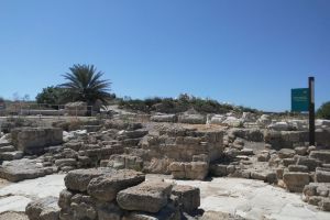
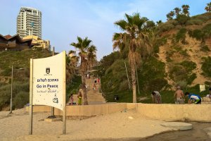
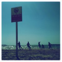
Israel National Trail, Hof HaCarmel Regional Council, Haifa District, Israel
164.92 km / 102.42 miles away

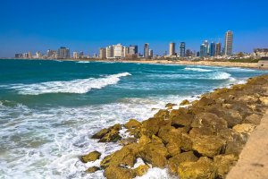
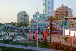
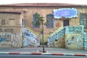
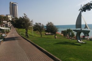
Zelda Shne'orson Mishovski Street, Tel Aviv-Yafo, Tel Aviv District, Israel
215.92 km / 134.08 miles away
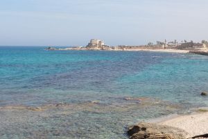
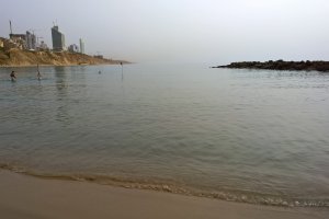
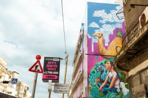
Retsif ha-Aliya ha-Shniya Street, Tel Aviv-Yafo, Tel Aviv District, Israel
216.02 km / 134.15 miles away

