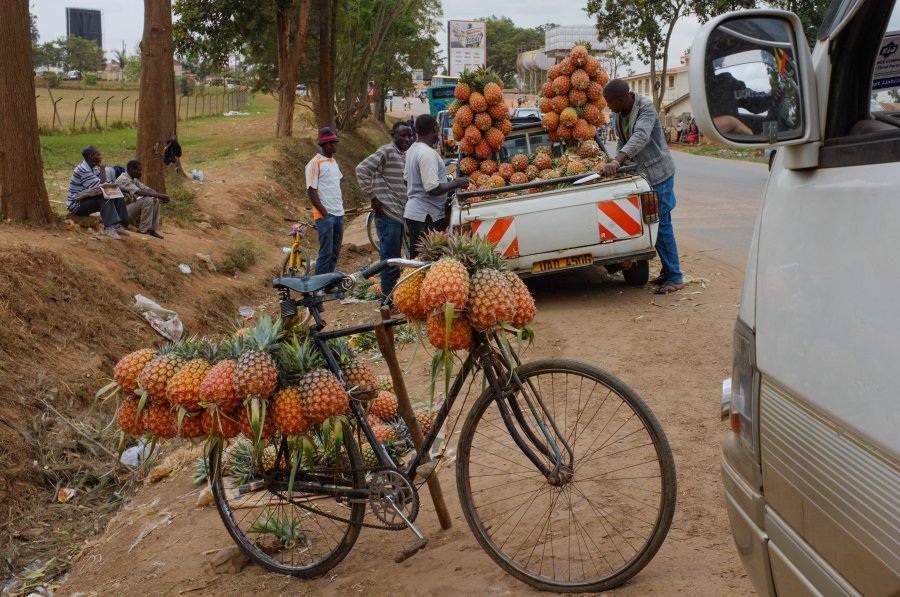
The photo was shot using a FUJIFILM FinePix X100 camera at an aperture of f/6.4, 1/1000 sec. shutter speed and ISO 400. Flash did not fire, compulsory flash mode. The original image file has a resolution of 3713 x 2466 pixels, or in other words 9.2 megapixels.The photo has a resolution of 240 DPI.
According to the image metadata, the photo was shot on Monday 5th of August 2013. The local time was 12:02:42. The timezone was Africa / Kigali, which is GMT +02:00. Please note that timezone was guessed using the GPS coordinates and may not be accurate. The EXIF timestamp may also be wrong if the date and time weren't set correctly in the digital camera.
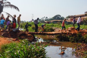
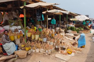
FUJIFILM FinePix X100 camera has a built-in GPS receiver and allows geotagging on image files. The coordinates and location where the photo was taken is stored in the EXIF. According to GPS data analysis, the photo was taken at coordinates 0° 36' 56.32" S , 30° 39' 29.67" E. The elevation was 1438 meters. Using reverse geocoding, the address associated with the coordinates is guessed as Kabale - Mbarara Road, Mbarara, Uganda. Depending on the GPS receiver and the reception conditions the accuracy may vary and the address should not be regarded as exact location.


