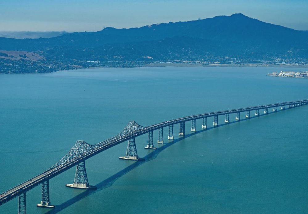
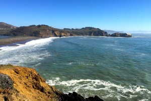
The photo was shot using a RICOH 645Z camera at an aperture of f/11, 1/250 sec. shutter speed and ISO 160. HD PENTAX-D FA645 MACRO 90mm F2.8ED AW SR lens was used to capture the image. Flash did not fire, compulsory flash mode. The original image file has a resolution of 999 x 693 pixels, or in other words 0.7 megapixels.The photo has a resolution of 300 DPI.
According to the image metadata, the photo was shot on Friday 25th of August 2017. The local time was 11:10:38. The timezone was America / Los_Angeles, which is GMT -07:00. Please note that timezone was guessed using the GPS coordinates and may not be accurate. The EXIF timestamp may also be wrong if the date and time weren't set correctly in the digital camera.
RICOH 645Z camera has a built-in GPS receiver and allows geotagging on image files. The coordinates and location where the photo was taken is stored in the EXIF. According to GPS data analysis, the photo was taken at coordinates 37° 56' 17.17" N , 122° 25' 42.05" W. The elevation was 315 meters. The camera was pointing West at 292.14 degrees. Using reverse geocoding, the address associated with the coordinates is guessed as Richmond-San Rafael Bridge, Richmond, CA 94801, USA. Depending on the GPS receiver and the reception conditions the accuracy may vary and the address should not be regarded as exact location.